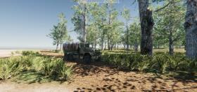
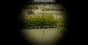
3D Live Training Ranges
IFACTS is offered with high fidelity 3D terrain for live training areas. IFACTS supports many different terrain formats, incl. OpenFlight and Terra Pages.
Terrain (geo-specific or geo-typical) can be installed in IFACTS if they are delivered in one of the terrain formats supported by IFACTS. New terrain can be produced by IFAD according to customer specifications if we receive the necessary terrain data from the customer. The price for a new terrain depends on requirements to quality, fidelity and contents.
Training Range Examples
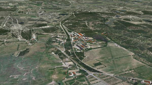
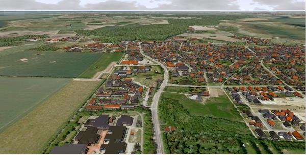
In the Danish solution IFACTS was delivered with several geo-specific terrain including a training range in Jutland, Denmark. This terrain, which corresponds exactly to military maps, is 60*90 km in low resolution with a target area of 20*20 km in high resolution. The target area is equipped with many cultural features (farms, churches, wind mills, masts, and much more). The terrain was produced by IFAD based on terrain data received from Danish Defence. Several other geo-specific terrain for military training ranges has been delivered too.
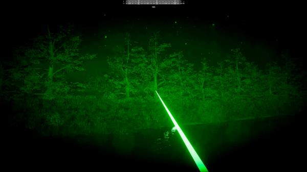
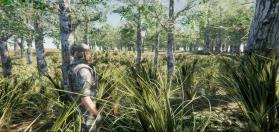
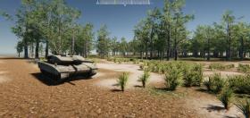
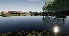
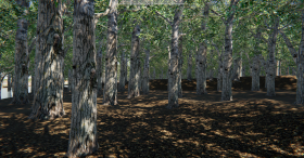
Examples from Danish training ranges are shown below.


 '
'